|
|
|
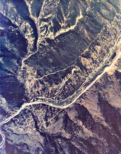
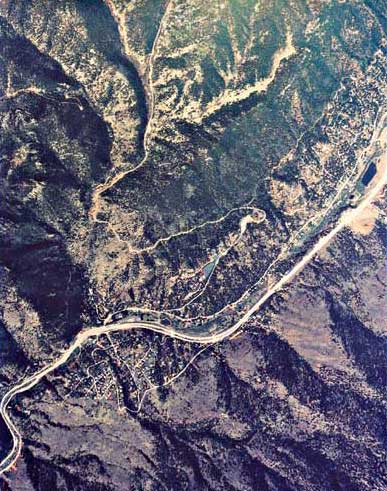
Aerial View of Cascade, CO

![]()

Cascade is in lower left corner. A
thin road climbing up is the beginning of Pikes Peak Highway
leading to the top of the mountain of 14,100 ft (4,300 m).
The mountain slopes are exagerated due to slow timing of the
shots.
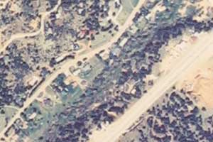
Photo Technical Data
On the right: a 200x300 pix cropped
image from the original
Aerial commercial
photos.
Cross-eye
© 2003 PikesPeakPhoto. All rights reserved.