Greenhorn Mountain

![]()

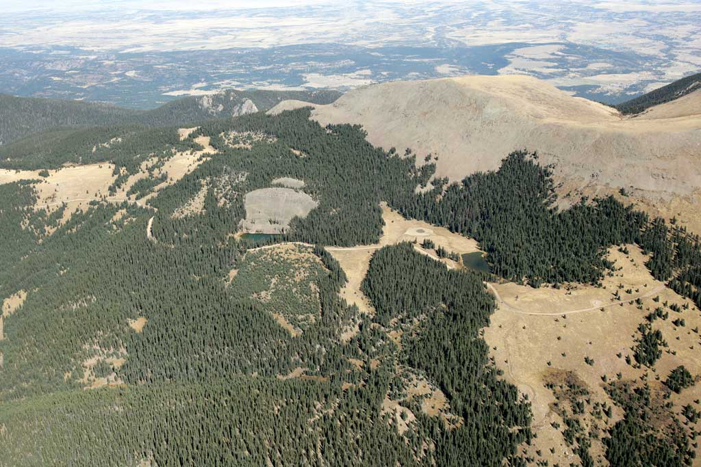
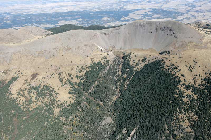
Aerial photo of the Greenhorn Mountain (12,347') the top point of the Wet Mountains. What you see above is the North side of it called North Peak (12,220'), and below - Blue Lakes, North B.L. on the left. October 9, 2007. Photo Technical Data On the right: view of the Greenhorn Mtn. summit on the South followed by the picture of South Blue Lake (click it to enlarge). |
 |
 |
© 2007 PikesPeakPhoto. All rights reserved.