
West Side of the Sangres

![]()

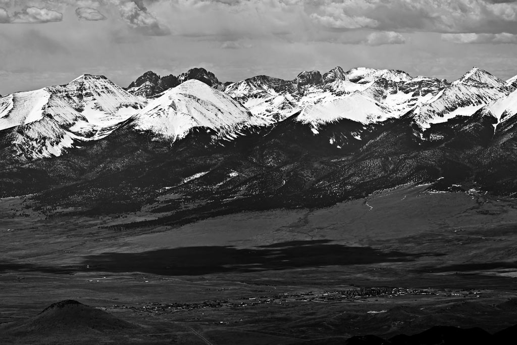
Aerial view of the Sangres, made at 15,000" altitude and 10 miles west of Saguache, CO. Made in December 10 of 2011. Scroll right (the image here is 10,000 pixels wide). Photo Technical Data Insert: Crestone Peak from a full size panorama photo. |
|
© 2011 PikesPeakPhoto. All rights reserved.