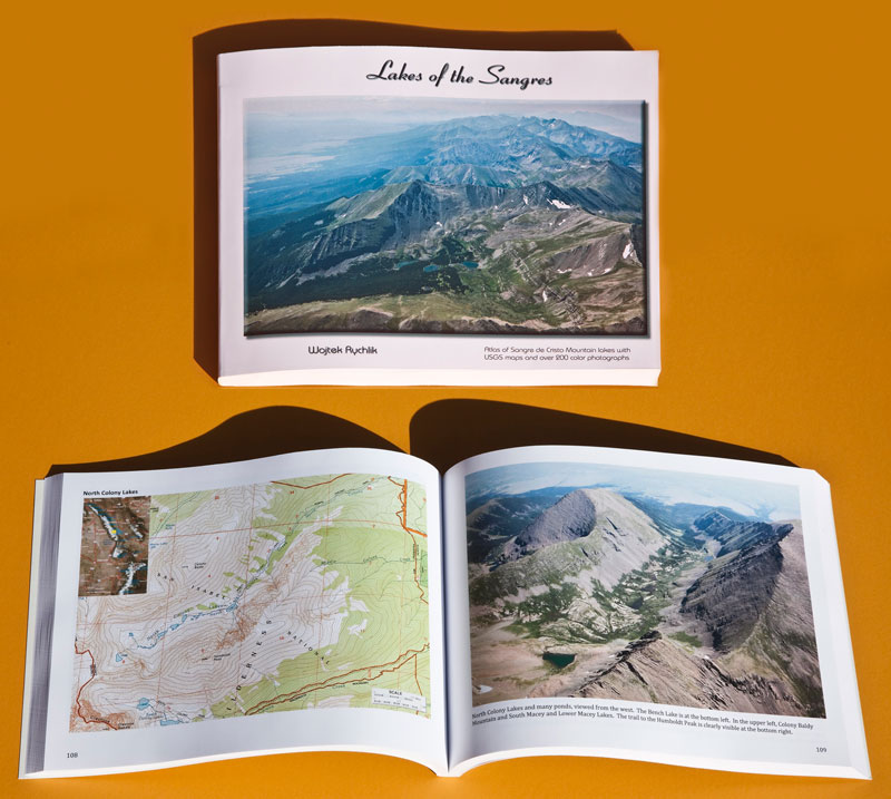
This is atlas of the Sangre de Cristo Mountains with 214 color photographs, most of them taken from the air, with 21 USGS 7.5-minute TOPO maps (1:24,000), covering the surroundings of all the Sangre lakes in Colorado. This 230-page book is printed in an 8.5x11” format, with either hard cover or perfect bound laminated soft covers. The names of all the lakes and the mountains are given, along with their elevation above the sea level, and the trail basic information. The lake and mountain names are indexed in the last pages. This is a very unique book made for the hikers and for those who appreciate beauty of the mountains. Most pictures have been made in the middle of hiking season, that is, July through September.
ISBN numbers
978-0-9842554-1-2 0-9842554-1-9 Lakes of the Sangres (hard cover)
978-0-9842554-2-9 0-9842554-2-7 Lakes of the Sangres (soft cover)
Note: if you buy the hard cover book, you may request, within a month of the purchase, 7 full resolution digital photos emailed to you (3 photos if you buy the soft cover book) for your personal use.
In order to make the books as affordable as possible, I've set my profit marigin so low that they cannot be available through Amazon.com (unlike the CDs). Please contact me if you have any questions or go to the ORDER page.