Click on the thumbnails below to enlarge, click on titles to view anaglyphs: the 3D images requiring ![]() red/cyan glasses.
red/cyan glasses.
 |
 |
|||
 |
 |
|||
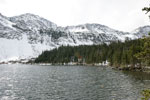
Hermit Lake |
||||
Eureka & Hermit L. |
 ---
--- ---
---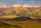
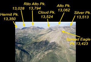
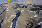
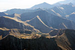
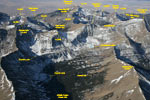
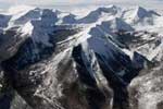
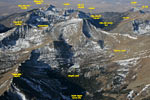
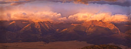
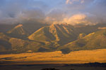
Peaks 12,671 and Spread Eagle and Peak 12,671' early morning
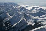
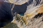
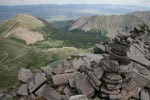
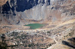
Hermit Pass and North Taylor Creek Valley with Megan Lake
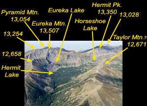
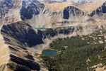
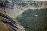
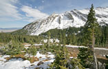
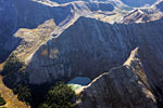
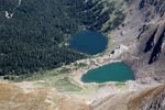
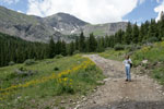
Hermit Pass is one of the most commonly used by 4WD vehicles as it provides relatively decent ride to the top (the worst road is near the beginning and then some). Hermit lake is accessible by a foot trail only (4th mile from the start). Without a vehicle, it's a strenuous 7 miles hike to the top. The road goes close to Horseshoe lake, but access to Eureka lake is tough, with no trail.
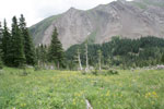
North Taylor Creek Trail is 5 miles long and starts at the Gibson Creek trailhead. Provides for a moderate hike from June to November, less used than Venable Creek trail.
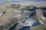
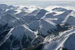
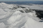
Groundhog Basin: in the background there is Venable Peak, and below, San Isabel Lake.
Mountain that separates Middle Taylor and North Taylor Creek Valleys has no formal name, with its highest point of 12,671'. As seen from this aerial view, it deserves its own name. It makes most sense if it's called the Taylor Mountain.
Eerly morning shots: 23 September 2007 at 6.50 (original 8483x3189) and 6.59 (original 4992x3328), respectively.
© 2007-9 PikesPeakPhoto. All rights reserved.
